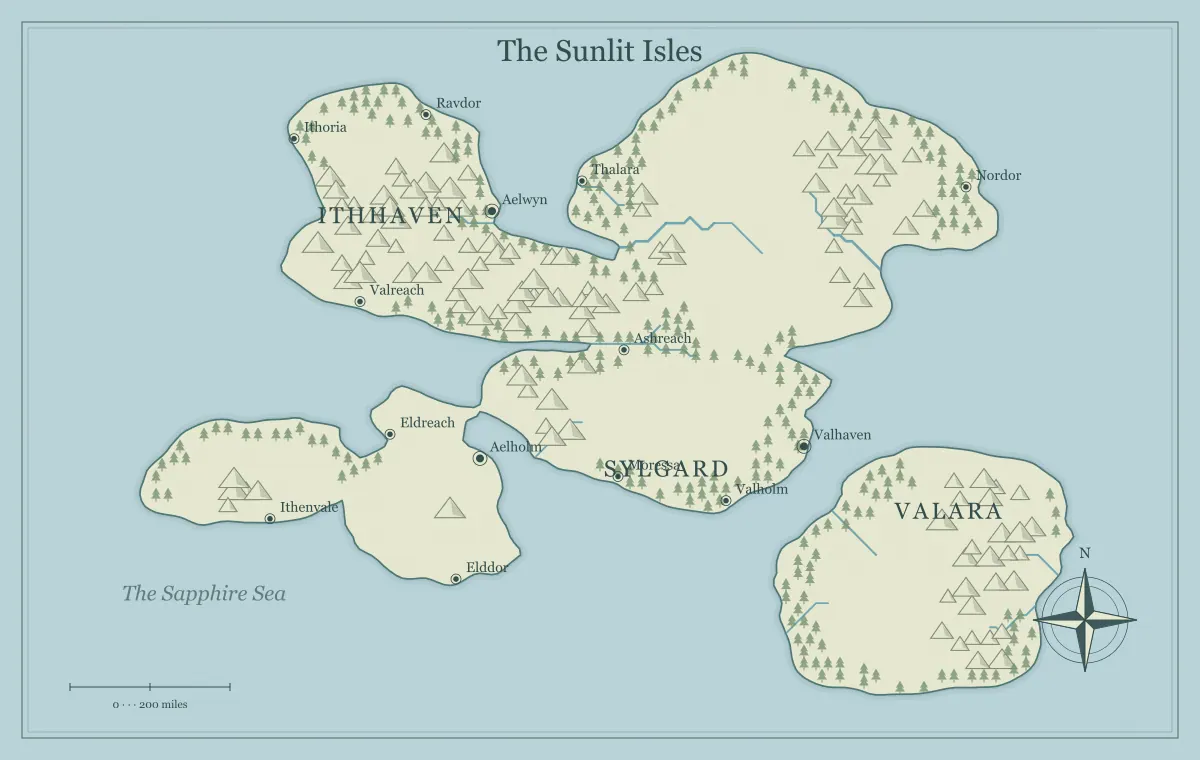
Trade routes make a fantasy map feel connected because they explain why goods, people, and information move between places. A port needs supplies from inland, a work site needs food and tools, and a market brings several communities into contact. Those dependencies can support stories without a complete economic simulation. The useful starting question is what one place needs from another and how that exchange actually reaches its destination.
This guide develops an original region called the Reedwater Exchange around a map from the fantasy map maker. The generator supplies fictional geography and supported labels or landmarks, not a route-drawing or price-calculation system. We will create a small goods network, identify practical constraints, and test a disruption. Use notes or a suitable external layout when you need explicit route lines beyond the browser's current controls.
Start with needs rather than a list of exotic products
Choose ordinary dependencies that matter to the setting. Reedwater's coastal port needs food and repair materials. The inland market needs tools and access to wider exchange. A timber settlement needs supplies and a way to move its output. These needs give routes a purpose before you assign every region a unique luxury item.
A special resource can enrich the network later, but it should have buyers, transport, and consequences. The city placement guide connects settlements to function and supply, while climate planning establishes broad environmental assumptions. Research particular real materials or crops if their properties become important to a precise claim in your project.
Choose a few centers with distinct roles
Reedwater has a port, an inland market, a river crossing, and a timber settlement. The port connects outside traffic, the market gathers local production, the crossing transfers travelers and goods, and the work settlement provides materials. Their different roles make the map easier to understand than several identical trade towns scattered across the region.
Record what arrives, what leaves, and what service each center provides. A crossing may earn its importance from transport rather than production. The frontier town guide develops services around a ferry, and archipelago planning applies similar reasoning to separate islands. The network can be small while still feeling inhabited.
Keep a compact goods and dependency note
A simple table can summarize the fictional network without pretending to forecast actual prices. Use qualitative roles first, then add quantities only if the project needs them. These entries are planning choices for Reedwater, not a model of a real economy.
| Movement | Purpose | Main constraint |
|---|---|---|
| Food from market to port | Supports residents and visiting crews | Reliable river landing and storage |
| Materials from timber settlement to crossing | Supports boats and local repairs | Maintained trail and handling space |
| Tools from port to inland communities | Supports farming and work sites | Road access and transfer at the crossing |
The note helps you trace a consequence later. If the landing fails, food deliveries and tool transfers may need different responses. The network's value lies in those relationships rather than a long inventory of products that never affect the story.
Choose transport paths through geography
Identify whether a shipment uses a road, river, sea passage, or a combination. Reedwater's food route uses the river and a port landing, while tools move inland through the crossing. Do not assume every river is navigable for every vessel or every gap in a ridge is a serviced road. Establish the fictional conditions and infrastructure that the route depends on.
The river guide, mountain guide, and coastline guide connect major terrain to movement. Use the map for broad relationships and the notebook for local details. The illustration does not independently measure cargo capacity, depth, or route condition.
Make transfer points matter
Goods may change transport at a landing, warehouse, crossing, or road junction. Those places can create services and relationships. Reedwater's crossing has handling space, storage, and people who arrange onward movement. A delay there can affect several routes even if the surrounding roads remain open. This makes the location important for reasons beyond its label.
Choose who operates the service and what they need to keep it working. A ferry association may depend on repair materials and skilled crews. The faction guide distinguishes service control from ownership of the whole region. A useful transfer point connects practical work, influence, and possible negotiation.
Use costs as constraints you establish
For fiction, costs can include time, effort, access, maintenance, and risk as well as money. A route that looks short may be inconvenient for bulky cargo. A longer serviced road may be attractive because it offers repairs and predictable transfer. Decide which factors matter before attaching precise amounts that the setting has not defined.
The scale guide separates distance from travel time, and route planning compares practical alternatives. Keep the assumptions consistent. A merchant's preferred route can differ from a courier's because their priorities and cargo are different, even though they use the same geographic map.
Provide alternatives where a disruption matters
A network becomes more interesting when a failed connection creates another choice instead of stopping all movement automatically. Reedwater can use a longer road if the river landing is unavailable. A smaller coastal landing may offer another transfer point but fewer services. These alternatives can change relationships and timing while preserving the setting's basic geography.
Do not make every alternative equally useful in all conditions. Explain the tradeoff and give travelers obtainable information. The sandbox guide connects several options without forcing one sequence. For a novel, the same network can explain why a character's route changes the people they meet and the help they can obtain.
Connect rules and influence to specific services
A council may regulate the market, a family may own a warehouse, and an association may operate the ferry. These roles can overlap at one town. Decide what each group can do and what cooperation normally makes the system work. A political boundary may change fees or access without replacing every local institution.
The border guide explains claims and practical control, while kingdom design links authority to supply. A trade conflict becomes understandable when it concerns a service or dependency rather than only an abstract rivalry between realm names.
Distinguish ordinary patterns from temporary conditions
Choose the usual route assumptions, then record the current disruption separately. A seasonal period of difficult access can be part of the normal pattern. A damaged pier or a new inspection rule is a particular change. Keep those categories clear so a temporary event does not make every earlier description of the region wrong.
The climate guide separates longer-term patterns from weather, and maintenance records changing conditions. A route can remain part of the network while being temporarily less useful. The map and notes should help the audience understand what changed and what alternatives remain.
Let routes carry information and relationships too
Travelers and crews can bring reports, introductions, and news along with goods. A regular landing becomes a place where people hear about upstream conditions. A market can connect communities that rarely meet elsewhere. Choose which information sources are useful to the story and how reliable they are. You do not need every rumor to be false to preserve uncertainty.
For a campaign, this network can provide leads naturally. For a novel, it can explain how a character learns about a distant event. The journey guide connects new information to decisions, while audience versions separates public knowledge from private preparation.
Use older routes to reveal change
An abandoned warehouse, former crossing, or declining road can indicate that movement shifted. Choose a reason relevant to the present network. Reedwater's old landing may have lost traffic after a more convenient port connection opened. The surviving building can still provide shelter or local memory even if its original service ended.
The landmark guide connects past function to present situations. Record what changed and what remains true rather than describing every old structure as evidence of a mysterious collapse. Ordinary changes in access and service can give a setting a convincing history with useful consequences.
Test the network through a damaged landing
Suppose the main river landing needs repair before the next food shipment. The market can delay loading, use the longer road, or send goods to a smaller landing. The ferry association needs timber from the work settlement, while the port wants supplies to arrive promptly. These interests create a situation several groups can address in different ways.
Write the immediate effects and one likely next action for each group. A temporary road arrangement may increase traffic at the crossing. A repair agreement may give the timber settlement more influence. The outcome should follow the contributions and constraints you established rather than a generic reward. If the characters intervene, record the changed service and relationships without assuming they now control the entire economy.
Choose how much of the network belongs on the image
A regional overview can show centers and geographic relationships while the table explains the routes. If you need explicit route lines or a detailed legend, use an appropriate external layout or vector workflow. The current browser editor does not provide unrestricted path drawing. Preserve the external source alongside the generator's editable file when both are needed for maintenance.
Keep labels distinct and explain categories without relying only on color. The label guide supports hierarchy, and monochrome printing helps preserve meaning. A simple map with clear nearby notes can communicate more than a dense overlay whose lines are ambiguous.
Distinguish a regular dependency from one special shipment
A regular food connection affects everyday planning at the port. A rare ceremonial cargo may matter greatly to one scene without supporting the whole region. Record the frequency and purpose in plain language before deciding what a delay changes. Reedwater's usual food deliveries need a dependable service, while a special tool shipment can create a temporary pressure at the work settlement.
This distinction keeps consequences proportional. One delayed cargo does not automatically collapse every institution. Identify who needs it now, what substitute exists, and which decision cannot wait. You can then make a disruption important without exaggerating the network's fragility. A simple note about ordinary exchange and exceptional deliveries helps the map support both daily life and the particular event your story or campaign is using.
Review Reedwater as a connected system
Identify who needs what, where it comes from, how it moves, and which transfer points matter. Then check one alternative and one disruption against the same assumptions. Save the working file and inspect the actual export using the saving guide and export guide. The approved map should remain readable at its destination size.
A living trade network makes geography consequential. Reedwater's port, market, crossing, and timber settlement have reasons to cooperate and pressures that can change their relationships. The generator supplies the visual beginning; a small set of coherent dependencies turns the region into a world where movement matters beyond the next journey.
Give the idea a world of its own.
Try the technique in the generator, then save an editable copy so you can return to your work.
Open the map maker ↗