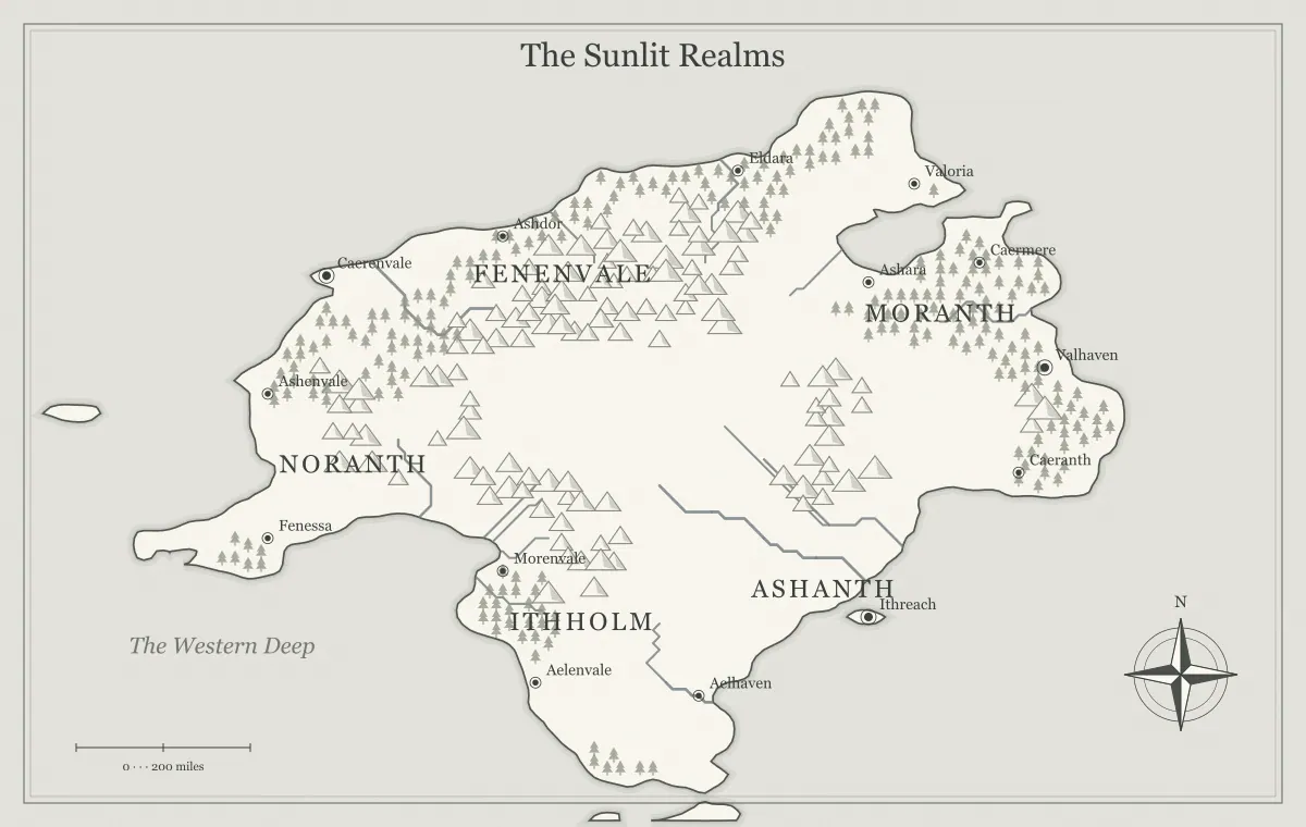
Mountain ranges can give a fantasy world a strong structure. They influence routes, divide drainage areas, create contrasting regions, and provide places whose resources or isolation matter to the story. Their usefulness is not measured by how many mountain symbols fit on the image. A clear ridge with a meaningful pass can support more decisions than a dense wall of peaks that leaves every journey unexplained. Begin with the relationships the mountains need to create.
This guide develops an original region called the Stoneback March with the fantasy map maker. The generator offers terrain settings and supported label or landmark edits, not a geological simulation or unrestricted mountain drawing. We will interpret a generated range, decide where movement and settlement connect to it, and keep the overview readable. Your fictional assumptions provide the detail that the broad illustration cannot measure on its own.
Give the range a role in the project
Write one sentence describing what the mountains do for the setting. They might separate two markets, shelter a hidden valley, provide a resource, or force a journey through a watched pass. For Stoneback, the ridge separates a coastal port from an inland farming region, and two crossings offer different approaches. That purpose tells you which terrain relationships matter before you start naming individual peaks.
A range can have several roles, but choose the first one clearly. If it is primarily a barrier, make the useful crossings understandable. If it supports settlement, explain the resource and supply routes. If it creates isolation, decide how people enter or leave. The mapmaking workflow establishes a brief, and map type selection helps give the ridge an appropriate share of the image.
Use geology as context rather than an automatic rulebook
Real mountain building can involve large-scale plate interactions and other processes. The USGS plate motions overview provides a primary introduction to those relationships. A fantasy map can use geological reasoning for coherence without claiming that its symbols represent a validated tectonic model. The generator does not assign a measured age or rock composition to every visible range.
For Stoneback, you can keep the geological history broad unless a resource or event requires detail. The important present relationship is the ridge between regions. If you need several unrelated mountain systems, give them separate histories or functions in your notes rather than assuming every peak belongs to one continuous wall. A concise explanation is often enough for a creative overview, while a scientifically focused project may need more specialized research.
Read the range as a broad shape
View the full map and identify the range's direction, extent, and relationship to major places. Individual mountain symbols are a visual convention; they are not a complete elevation surface. Do not infer that every gap is an easy road or that every symbol has identical height. Decide the main physical arrangement at the level of the overview, then describe local detail where the story needs it.
Generate a limited set of candidates if the current arrangement contradicts the brief. Save a useful terrain state before experimenting with settings. The seed guide explains repeatable starting points, and controlled iteration helps distinguish a structural mismatch from a label collision. You do not need a new world merely because the range name is difficult to place.
Choose crossings that create decisions
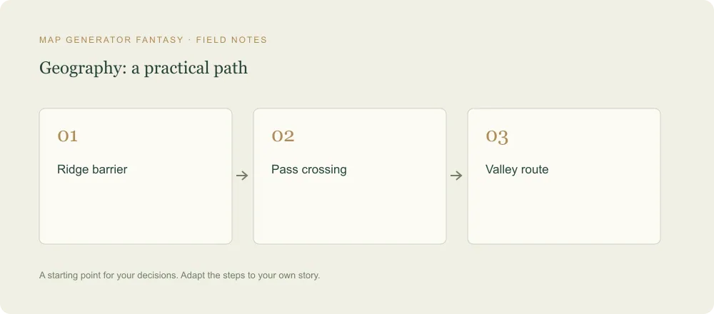
A pass becomes useful when it connects specific places under understandable conditions. Stoneback's western pass follows an established road with shelter and inspection. The eastern crossing is a less serviced trail used by local guides. Their differences let travelers compare access, effort, and visibility. Avoid presenting a choice between two unnamed gaps whose consequences are entirely hidden until after someone selects one.
Record what travelers can learn before departure and what remains uncertain. A trader can explain the road checkpoint, while a guide can discuss the eastern trail. The travel route guide separates distance from effort and elapsed time. A short path on the image is not automatically the fastest journey, especially when terrain and services differ.
Give valleys more than empty space
The areas around and within a range can hold settlements, farmland, routes, and distinctive histories. Decide which valley matters to the story and why people use it. Stoneback's inland valley gathers agricultural goods for the coastal market. A smaller side valley holds a quarry camp with a difficult supply connection. These functions make the mountains part of an inhabited region rather than a backdrop behind unrelated towns.
Keep the broad valley identity clear on the overview and local features in notes or closer views. If a valley is hidden from the characters, distinguish that lack of knowledge from physical inaccessibility. The hidden realms guide explores the difference, while city placement helps connect settlements to water, resources, and movement.
Connect high ground to the drainage picture
Ridges can help separate drainage areas, so inspect the main river relationships on either side of the range. The USGS watershed guide explains drainage divides. Use that broad concept to ask where your fictional water network leads, without treating the illustration as a detailed hydrological survey.
For Stoneback, the inland river connects farming settlements while a coastal stream serves the port's immediate region. Their separate roles can support different travel and supply patterns. If a magical channel crosses the ridge, establish how it works and what maintains it. The river design guide develops system-level reasoning and explains why a drawn line alone does not establish navigability for every vessel.
Consider wind and moisture together
A mountain range can contribute to contrasting rainfall patterns, but the direction and broader conditions matter. NOAA's wind, water, and mountains lesson discusses rain shadows and several influences on rainfall. Do not automatically put a desert on one chosen side of every fictional ridge without deciding the regional winds and moisture source.
Stoneback can have a wetter coastal side and a drier inland area if that matches your established assumptions. The contrast need not become two absolute extremes. Record the broad pattern and use it to explain vegetation, farming, or seasonal access where relevant. The climate guide separates a regional pattern from the conditions of a particular journey. The generator's terrain appearance does not supply a complete weather model.
Tie resources to access and supply
A resource site can create a reason to enter the hills, but it also needs a route and support. Stoneback's quarry camp sends material toward the road and receives food from the inland valley. A blocked crossing can therefore affect both the camp and the port's construction work. You do not need to assign an exact mineral distribution to every symbol to establish a useful dependency.
Ask what the site produces, who uses it, and what makes transport difficult. These questions create clearer situations than a generic statement that mountains contain treasure. The trade guide connects production and movement, while frontier town design explains service settlements near a route or resource. Keep geological claims modest unless you have researched the specific material and context.
Separate the ridge from the political boundary
A range can support a border, but physical terrain and authority are not identical. Two realms may claim opposite sides while sharing a pass market. Local communities may use trails the central administration rarely patrols. Decide what changes when someone crosses: rules, fees, affiliation, or simply the landscape. A hard line on a map should have a clear meaning in the setting.
For Stoneback, the western pass has a checkpoint, while the eastern trail lies in a zone of overlapping influence. Those conditions provide choices without pretending every kilometer of the ridge is equally controlled. The border guide and faction guide help distinguish claims, assets, and practical control.
Name the system and selected features differently
Use a broad range name for orientation and individual names only where they matter. Stoneback Range can contain White Pass and the quarry valley of Redfold. This hierarchy gives the audience a way to discuss the whole barrier and a specific crossing. Naming every generated peak can crowd the image while adding little to the current story.
Keep important spoken names distinct and place the range label where it does not obscure the towns or routes. A long ceremonial name can remain in the notebook. The naming guide explains layered labels and aliases, and typography supports hierarchy at the final size. Check the full image after editing in close-up.
Use mountain landmarks to reveal change
An old road, abandoned station, or damaged bridge can show how people previously crossed the range. Give the feature a relationship to the current network. A ruined toll house may indicate a route that lost importance after a new pass road opened. A repaired shelter may record the characters' actions. History becomes useful when its physical evidence affects a present decision.
Choose one or two relevant landmarks rather than filling every ridge with ruins. The landmark guide connects past function to present situations, and campaign maintenance explains how to update important changes. Keep detailed local layouts separate from the geographic overview when an encounter requires precise positions.
Compare the two Stoneback crossings
A short preparation note can make the difference between the passes concrete. The western road offers shelter, repair services, and an official checkpoint. The eastern trail offers local guidance and fewer inspections but no dependable supply stop. A merchant prefers the road because cargo handling matters. A messenger may prefer the trail because arrival without public attention matters. Neither route needs to be universally best for the comparison to work.
Give the audience those facts through people who would know them. The port's carriers can explain the road, while a valley guide can describe the trail. Keep uncertain conditions separate from stable features. If a recent storm has affected the eastern crossing, report the source and what remains unknown. The map can then support an informed choice, and a later discovery can change the plan without contradicting the basic geography.
Review Stoneback through a journey
Describe a journey from the inland market to the port using each crossing. If the alternatives have understandable benefits, costs, and information, the range is doing useful work. Check that the map shows the important places and that the notes establish the conditions the image cannot measure. Save an editable version and inspect the actual export at the intended size using the export guide.
A strong mountain range organizes the setting without making it rigid. Stoneback influences water, access, resources, and authority, while its passes give people choices. The generator provides an illustrated beginning; deliberate interpretation turns it into a region that can support a story or campaign. Let future details answer specific questions, and keep the main relationships stable as the world develops.
Give the idea a world of its own.
Try the technique in the generator, then save an editable copy so you can return to your work.
Open the map maker ↗