Climate planning helps a fantasy map connect landscape to everyday life. It can explain why a valley grows particular crops, why a pass closes during part of the year, and why two regions exchange resources. The task is not to attach a different biome name to every patch of terrain. Begin with a small set of regional assumptions and follow their consequences. A coherent broad pattern is more useful than many precise labels whose relationships you cannot explain.
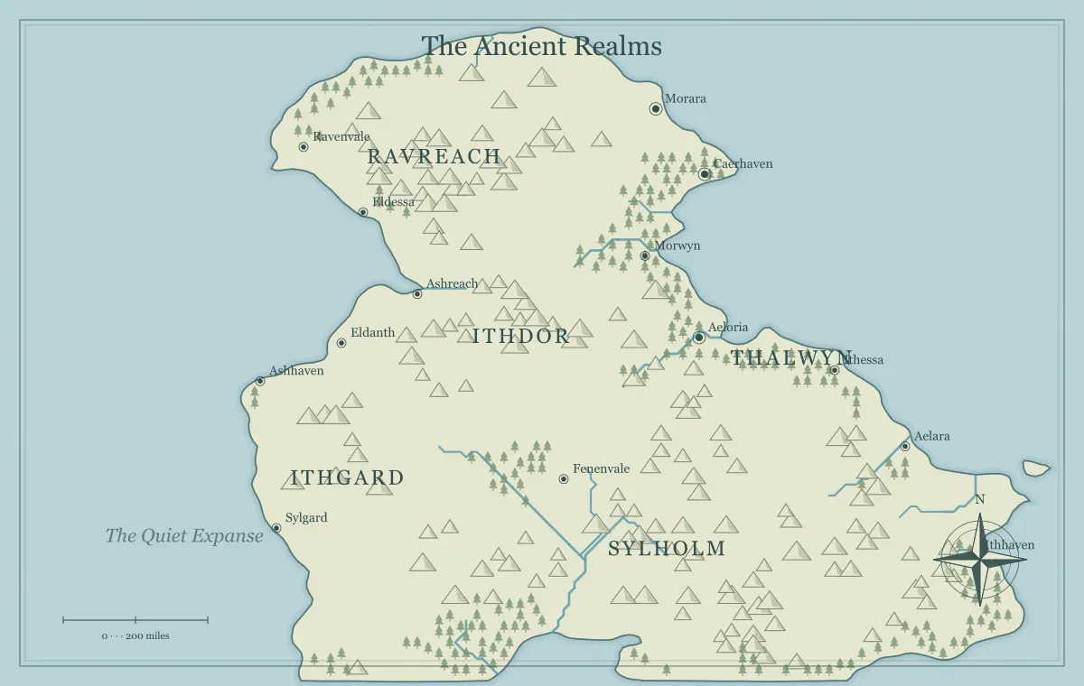
This guide develops an original setting called the Sunward Basin around a map from the fantasy map maker. The generator supplies fictional terrain and visual styles, not a climate simulator or a biome classification tool. Your notes establish the climate, vegetation, and seasonal conditions. We will use simple decisions to connect a coast, mountain ridge, inland valley, and settlements while leaving detailed science outside the claims of the generated illustration.
Separate climate from today's weather
Climate describes longer-term patterns, while weather concerns shorter-term atmospheric conditions. NOAA's climate and weather explanation provides the real-world distinction. For a fictional setting, decide the ordinary regional pattern separately from the storm or dry spell affecting one scene. A rainy journey does not by itself establish that the whole region has a wet climate.
Sunward Basin can have a generally dry inland area and still experience an unusual storm. Record both levels clearly: the background pattern explains settlement and supply, while the current condition affects immediate travel. This prevents a temporary event from forcing you to rewrite every forest and farm on the map. The campaign maintenance guide helps track temporary conditions separately from stable setting facts.
Choose the geographic and planetary frame
Decide whether the map is a small region, a continent, or a world overview. A small region may need only a few climate notes, while a world map needs a broader framework. Also decide the setting's relationship to an equator, poles, and any unusual planetary assumptions. Do not automatically interpret the top of an image as colder land without establishing what north means in your world.
You can keep those decisions simple. Sunward Basin occupies one broad temperate region in the fictional planet's northern half. That note gives you a frame without requiring orbital calculations. If the setting has unusual seasons or magical weather, record the departure from ordinary assumptions explicitly. The map type guide helps match scope to purpose, and magical geography helps keep exceptions consistent.
Choose moisture sources and broad movement
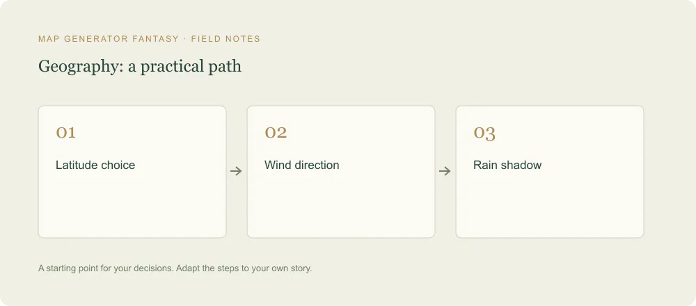
Before assigning wet and dry regions, think about nearby water, the direction of prevailing winds, and major terrain. NOAA's wind, water, and mountains lesson discusses rainfall influences including rain shadows, latitude, and proximity to water. Use the lesson for context, not as a formula proving an exact rainfall amount for your generated map.
For Sunward, establish that the coastal side receives more moisture under the setting's usual wind pattern than the sheltered inland basin. The contrast can remain moderate unless your story needs an extreme. Write the assumption and the consequences in plain language. You do not need exact annual totals to explain why one area supports denser woodland while another depends more heavily on managed water and imported supplies.
Use mountain effects as part of the whole system
A ridge can contribute to a climate contrast, but it should not become an automatic instruction to place a desert on one side. Check your chosen wind direction and broader setting assumptions first. The same outline can support different fictional interpretations if the regional frame differs. The generator does not know which interpretation your story intends.
Sunward's mountain pass connects the wetter coast to the inland market. Its climate significance and travel significance are related but separate. A seasonal closure can affect supply without turning the whole basin into an uninhabitable zone. The mountain range guide connects barriers, water, and settlement, while travel routes explains how conditions create choices at the scale of a journey.
Treat biome labels as a working summary
For a creative notebook, broad labels such as woodland, grassland, wetland, or dry scrub can summarize the environment you intend. They do not replace a detailed ecological description when a project needs one. Define what the label means in your setting: the general vegetation, ordinary moisture conditions, and important seasonal changes. Avoid using an impressive technical word whose implications you have not checked.
The generator's tree and mountain symbols are illustrative, so they can support a broad presentation while your notes carry the specific interpretation. If the chosen forest density conflicts with the setting, compare another presentation or select a more suitable candidate. The forest guide discusses inhabitants, resources, and routes. A biome becomes useful when it explains relationships, not simply when it adds another color category.
Leave room for transitions and local differences
A regional description does not require every place inside it to be identical. A basin can contain a watered valley, dry slopes, settlements near springs, and rough uplands. For fiction, choose the local differences relevant to the story and explain how they connect to the broad pattern. A hard boundary between two labels can be a simplification of the overview rather than a claim that conditions change instantly at a line.
Keep the map's information hierarchy clear. The main regions can have broad labels, while a local wet area or sheltered site can appear only when it becomes important. This leaves room for later detail without contradicting the overview. The notebook guide helps separate stable facts, local elaborations, and provisional ideas across several views of the same setting.
Connect water access to settlement assumptions
Once you choose a broad climate, decide how the important settlements obtain water. Sunward's inland market sits near a managed river connection, while a smaller ridge settlement depends on a spring and stored supplies. Those are fictional infrastructure decisions that explain why people remain there. The map's general climate label does not automatically answer the practical question of daily water access.
Record the dependency most likely to matter. A damaged channel can affect the market, while a route closure can delay supplies to the ridge town. The river guide discusses drainage and crossings, and city placement connects water to resources and movement. You can establish a coherent relationship without calculating every household's consumption.
Choose food and trade consequences
Climate assumptions should influence what regions can provide and what they seek elsewhere. Sunward's coast might supply timber and maritime goods, while the inland valley supplies crops suited to the fictional conditions you establish. Choose specific products only to the level you can support. If a real crop's requirements matter, research it rather than assuming every familiar plant thrives wherever the story needs it.
At the broad worldbuilding level, decide which region depends on another and which route carries the exchange. A closed pass can then affect prices, repairs, or local choices. The trade guide develops these relationships. The climate is doing useful work when it helps explain supply and cooperation, rather than serving only as background weather words.
Pick the seasonal changes that matter
Write a short seasonal pattern for the region: when travel becomes difficult, when a resource is available, and when people prepare supplies. Keep it consistent with the broad assumptions already chosen. You do not need a complete fictional meteorological calendar unless the project uses one. Two or three important seasonal conditions can support a campaign or novel without overwhelming preparation.
For Sunward, a period of difficult pass access can make the coastal route more valuable. An inland harvest season can increase market traffic. Communicate those conditions through people and notes that the audience can obtain. The route guide helps make the consequences understandable, while the scale guide keeps duration, distance, and narrative pacing separate.
Give magical climate a mechanism and consequence
A magical weather feature can be coherent if you define what it does, where it applies, and what sustains it. A protected growing valley might depend on a maintained system, a local agreement, or a limited source of power. Decide what happens when that support fails. The exception then becomes part of the setting's relationships rather than a convenient answer that changes whenever a scene needs it.
Keep the difference between ordinary regional climate and the magical zone explicit. Sunward's protected valley can have a distinct role without implying that the whole basin shares its conditions. The magic guide develops internal rules and costs. An unusual place becomes more interesting when people depend on it and can make decisions about its maintenance.
Decide what belongs on the image
A geographic overview does not need to show every climate detail. Broad region names, terrain presentation, and a caption can communicate the main pattern. Keep exact seasonal notes and settlement dependencies in the notebook. If you need a dedicated climate overlay, build it in a suitable external layout or vector workflow; the current generator does not provide a full biome painting interface.
Use descriptive prose rather than relying only on color. A grayscale print should still have enough explanation to support the map's central role. The monochrome guide and label guide help preserve meaning. A simpler image with clear nearby text is often more useful than a crowded overlay whose categories are unexplained.
Keep a compact Sunward regional note
A comparison note helps you apply the assumptions without repeatedly inventing new conditions. These are fictional planning choices for Sunward, not measured climate data or classifications for a real place. Keep the wording broad enough to leave room for particular weather events.
| Region | Planning assumption | Important dependency |
|---|---|---|
| Coastal side | Generally wetter under the chosen wind pattern | Timber deliveries connect the coast to inland repairs |
| Inland basin | Generally drier, with locally managed water | The market needs a reliable water connection and supply route |
| Protected valley | A limited magical exception with defined maintenance | Residents depend on the people and resources sustaining the system |
When a new scene introduces an unusual condition, compare it with this note. A storm in the basin can remain a weather event. A failed magical system changes the protected valley's current situation. You can update the relevant fact without replacing the entire regional pattern or assuming every nearby settlement experiences the same change.
Test Sunward through one journey and one shipment
Describe a journey from the coast to the inland market during the difficult pass season. Then describe a shipment the market needs from the coast. The same regional assumptions should explain both without inventing contradictory conditions. A traveler may choose another route, while cargo may wait for a reliable crossing. Those differences show how climate affects movement and economy at the level of your story.
If the explanation requires an exception, record it and ask whether the exception has consequences elsewhere. Keep the approved map and notes recoverable using the saving guide. Climate planning succeeds when a few coherent assumptions make the world easier to understand and maintain. The generated landscape is the visual beginning; your connected decisions turn it into a setting with a believable regional character.
Give the idea a world of its own.
Try the technique in the generator, then save an editable copy so you can return to your work.
Open the map maker ↗