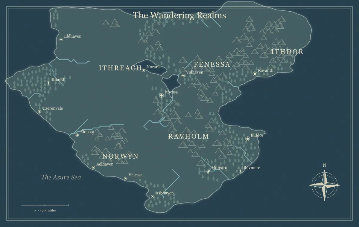
A faction map can help a campaign explain who controls a crossing, who depends on a port, and where competing interests meet. It becomes misleading when every group is reduced to a colored territory with a hard border. Influence can travel along trade routes, operate through a service, or exist inside a town governed by someone else. A useful regional map shows the places where power matters while the campaign notes explain what each group can actually do.
This guide develops an original setting called the Greywater Compact using the DND world map maker. The tool is independent of tabletop publishers and provides fictional geographic illustrations with supported label and landmark edits. We will connect three factions to resources, routes, and present goals without claiming that the browser editor provides a complete political-polygon drawing system. The method works with a simple map plus a compact faction index.
Distinguish rule, ownership, and influence
Begin by deciding what you mean when you say a faction controls a place. A council may govern a town legally, a family may own its warehouse, and a river association may operate the ferry. Those are different relationships. If you mark the town with one faction's color and no explanation, players may assume that faction can command every activity there. Write the distinction before choosing a visual representation.
In Greywater, the council issues market rules, the river association schedules ferries, and the hillwardens guard the pass. Their powers overlap at the market town. A group can be influential without owning the land between its services. The borders and frontiers guide explains the difference between claimed territory and practical control, while political kingdoms connects authority to geography and conflict.
Give each faction concrete assets
List two or three things each group can use. The council has a records office, tax collectors, and a public storehouse. The river association has boats, skilled crews, and landing access. The hillwardens have a watch station, trained patrols, and knowledge of the pass. Assets make a faction's power visible through places and services. They also limit what it can accomplish without help.
Map the important assets rather than every member. A watch station belongs on the regional overview if it affects travel. An individual clerk usually belongs in the location notes. This keeps the image readable while preserving useful detail. The city placement guide helps locate service centers, and landmarks gives a station or warehouse a specific function and history.
Write a current goal rather than a permanent slogan
A faction's broad identity may be stable, but its current goal drives play. The council wants grain to reach the market before winter. The river association wants a damaged landing repaired. The hillwardens want supplies delivered to the pass station. These goals connect the groups without making them identical. They can disagree about fees or priorities while needing one another to solve the shared problem.
For each goal, record what the faction is trying now and what it may try next if nobody helps. Keep the plan proportional to its assets. A group with boats can alter ferry service; it cannot instantly control every inland village. This creates consequences that follow from established capabilities. The campaign maintenance guide helps update goals after events instead of treating factions as unchanging labels.
Connect influence to a geographic network
Trace the routes and services each faction depends on. The council needs both the road and river to deliver grain. The river association needs repair timber from the hills. The hillwardens need market supplies carried through the pass. These connections explain why an action at one location affects another. A damaged landing can become political without requiring an arbitrary feud between groups.
Show major geographic relationships on the map and keep the dependency network in the notes. You can label the market, landing, timber settlement, and station clearly. If you want an extensive overlay, create it in an appropriate external workflow using a suitable export rather than expecting an absent editor feature. The travel routes guide explains how paths and crossovers support choices, and trade routes develops resource movement.
Use hard borders only where they mean something
A formally administered border can be useful when a crossing changes laws, fees, or access. An area of influence may be better described through towns and routes. Do not draw a precise line merely because it looks orderly. If the council's rules weaken north of the ridge, that may be a gradual or contested condition rather than a surveyed boundary everyone accepts.
State the meaning of any boundary in the caption or nearby prose. “Council-administered towns” differs from “territory claimed by the council.” “Roads commonly patrolled by hillwardens” differs from “land owned by hillwardens.” These distinctions keep the map honest within its fictional context. They also create useful questions for players: who recognizes the claim, what happens at the checkpoint, and where practical authority changes even when the formal line does not?
Treat overlapping interests as a source of play
Greywater's market town is an overlap, not a design failure. The council regulates trade, the association moves cargo, and the hillwardens seek supplies. A shortage can produce negotiation among all three. Players can help one group, broker an agreement, or find an alternative route. The map shows why the town is a meeting point, while the notes explain the interests brought there.
Avoid making every overlap a battle. Cooperation, contracts, local custom, and shared maintenance can sustain a region. Conflict becomes more meaningful when the audience understands what normally works and why it has become strained. The frontier town guide uses overlapping authority around a crossing, and sandbox planning connects several situations without forcing one sequence of outcomes.
Separate public affiliation from private intention
Players may know that the hillwardens operate the pass station while not knowing their private plan to abandon it. The public map can identify the service without revealing the future action. Likewise, a warehouse can have a visible owner while its concealed stock remains in your notes. A faction label should describe known information rather than expose every prepared secret.
Use a knowledge inventory for important assets and goals. Mark what is known, rumored, or private. The player and DM guide explains how to maintain separate audience versions and audit markers as well as text. If a faction's public identity is unclear in the fiction, communicate that uncertainty rather than making the player map falsely definitive.
Keep visual representation restrained
Use a small number of supported labels or landmarks to identify major faction sites. The council office, ferry landing, and pass station can each have a clear name. You do not need to mark every road segment or minor employee. The overview should remain a geographic orientation tool, not become a dense organizational chart that the group cannot read during play.
Keep any category distinctions understandable without relying only on color. In surrounding text, say which group operates which service. A printed grayscale version should still be useful. If you add a legend in an external layout, use consistent names and explain the categories. The label guide and monochrome guide support readability. A restrained map plus a clear index often communicates more than an elaborate overlay with ambiguous meaning.
Create a compact faction index
For each faction, keep five fields: public role, key assets, current goal, dependencies, and relationships. The river association's entry might identify ferry service, boats and landings, repairs, timber supply, and a fee dispute with the council. This is enough to guide a conversation or consequence without a lengthy institutional history. Add individual characters only when they are likely to appear.
Link the index to location names used on the map. If the landing is called Reed Landing, use that exact label in the faction notes. Consistency prevents you from preparing two apparently different sites that are actually the same place. The notebook guide explains a shared source of truth, while naming helps maintain aliases and official names without confusing the public handout.
Make faction reactions follow from their interests
Suppose the players repair Reed Landing using timber arranged through an independent village. The river association gains reliable service, the council receives grain sooner, and the hillwardens may ask for help with their own supply. The village can gain bargaining power because it provided an important resource. These reactions follow from the network rather than a generic reward or punishment attached to helping a faction.
Record the immediate consequence and one likely next action. Do not update every relationship after a small event unless it matters. A focused consequence keeps preparation manageable and makes player influence visible. If the group changes practical control of an asset, update the appropriate map or index. Preserve the difference between a public change and a private intention that the characters have not discovered yet.
Review the faction map before sharing
Open the exported player version and inspect names, markers, caption, and filename. Confirm that the public roles are understandable and private plans remain absent. Check whether the most important geography is still readable beneath the faction information. If the overlay obscures routes, simplify it or move details to an accompanying index. The export guide explains format and destination checks.
Save the editable working file and an approved image with a clear audience label. A faction map is a version of current information, not a permanent truth about the whole campaign. The saving guide helps keep revisions recoverable. Give the group enough information to understand power without turning the map into an accidental copy of all your private preparation.
Use one Greywater decision to test the design
Ask what happens if the party chooses the hill road instead of the ferry. The answer should involve understandable route conditions, services, and interests. They may reach the station sooner, avoid a landing delay, and need local guidance. If your preparation cannot explain the difference without inventing a new faction on the spot, clarify the existing network before adding more symbols.
A useful campaign faction map shows where power touches geography and what that power depends on. Greywater's council, river association, and hillwardens become memorable because their assets and goals connect. Players can then act on those relationships, and the campaign can respond coherently. Clear roles, restrained visual information, and a maintainable index make the map a practical tool for play rather than a collection of colored claims.
Give the idea a world of its own.
Try the technique in the generator, then save an editable copy so you can return to your work.
Open the map maker ↗